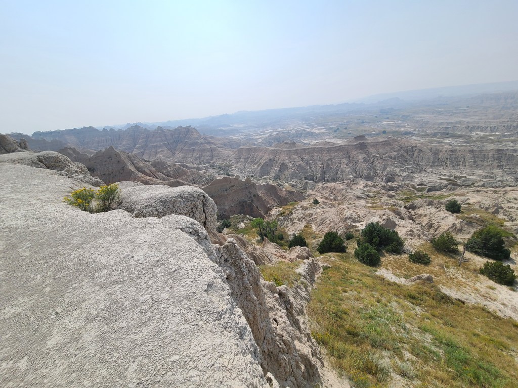
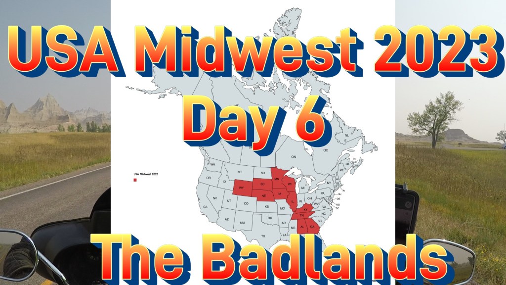
The Badlands
September 6th, 2023
Day 6 Overview
Total Miles for day 6 was 253 miles starting at the Badlands Hotel & Campground in Interior, South Dakota. The highlight of today’s ride was rolling through the Badlands National Park offering up some stunning and rugged scenery. The day concludes near Keystone, South Dakota where I camp for two nights in the Black Hills at the Grizzly Creek Primitive Campground.
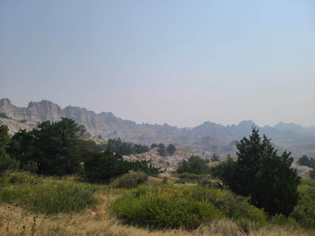
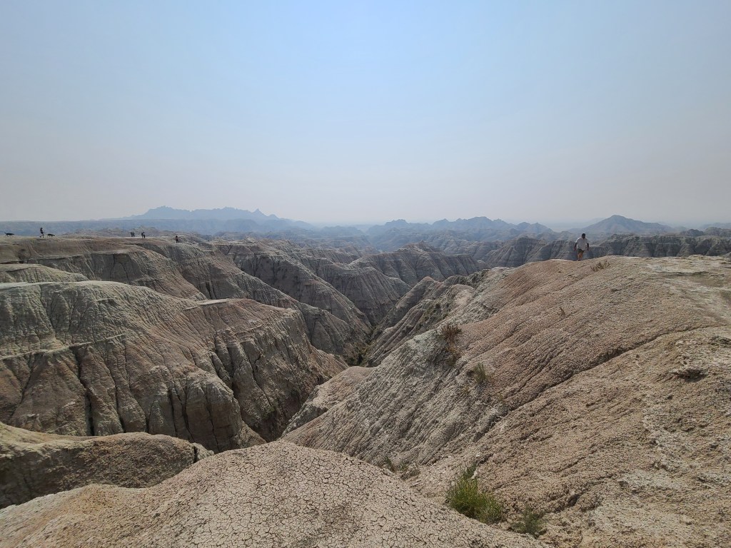
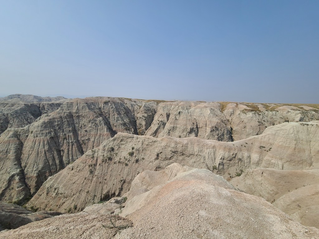
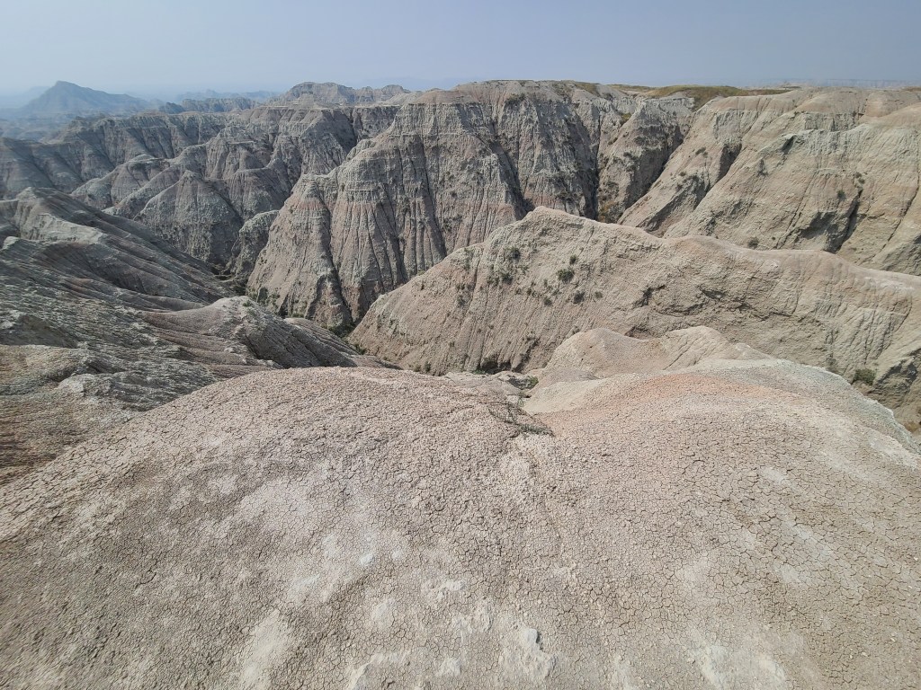
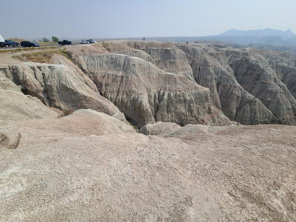
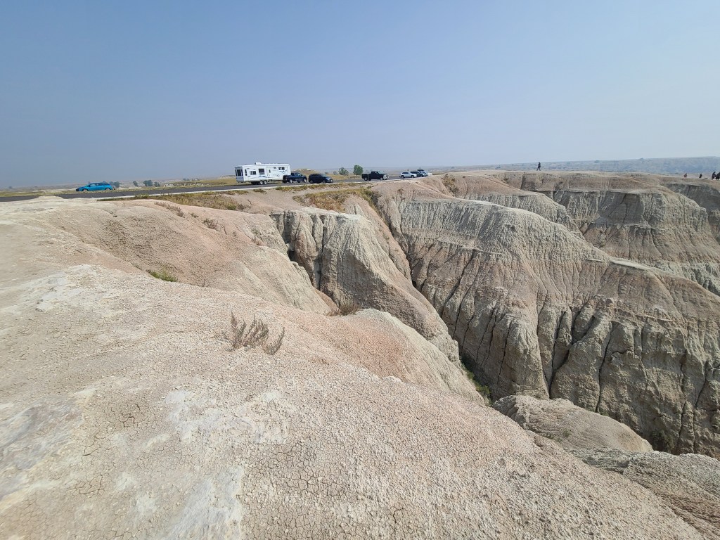
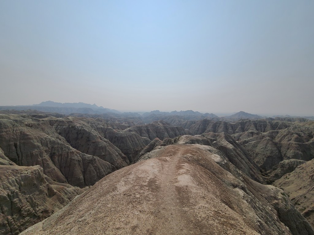
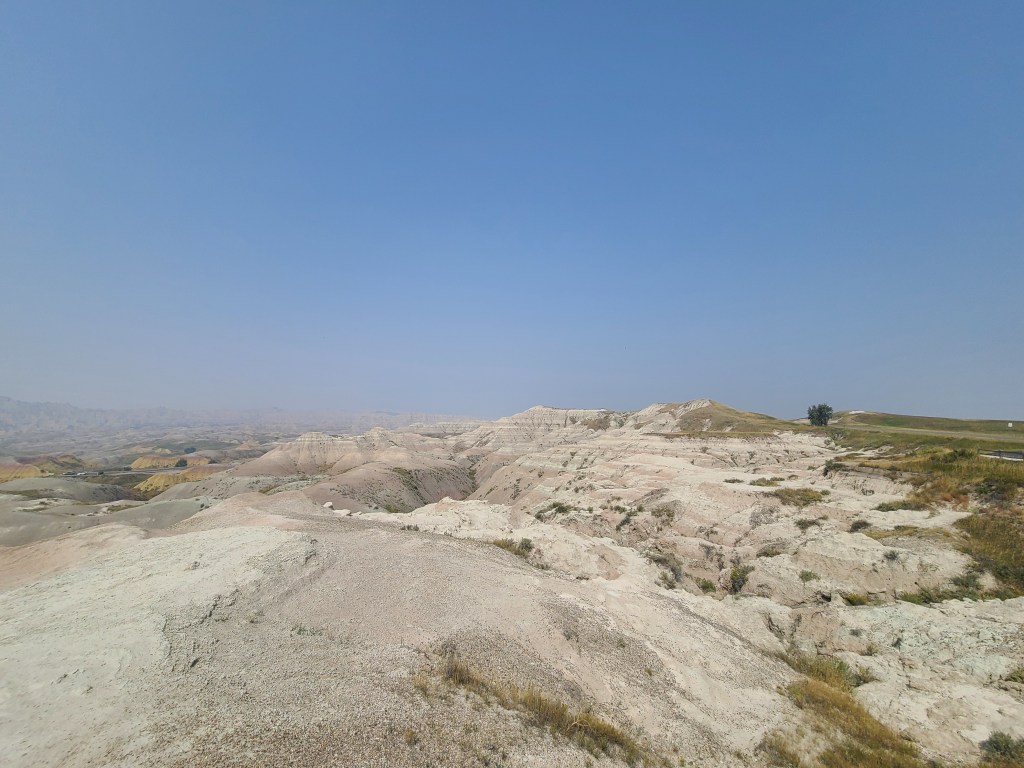
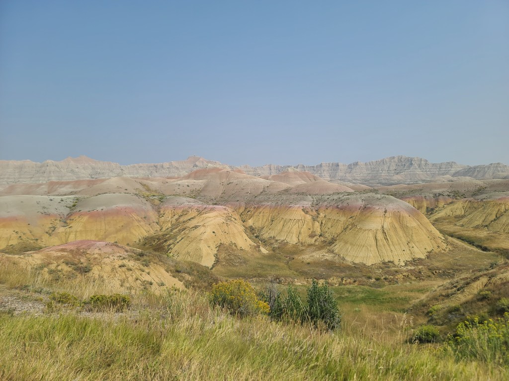
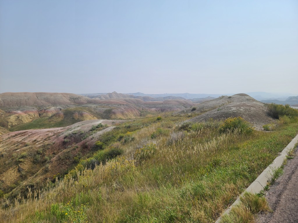
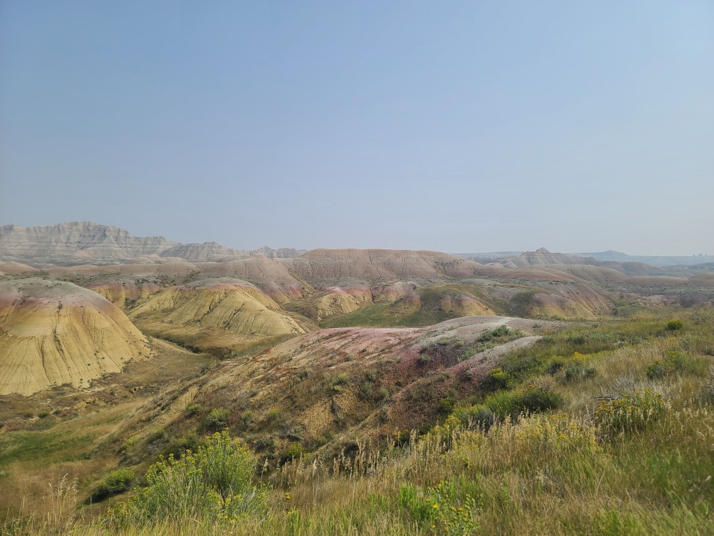
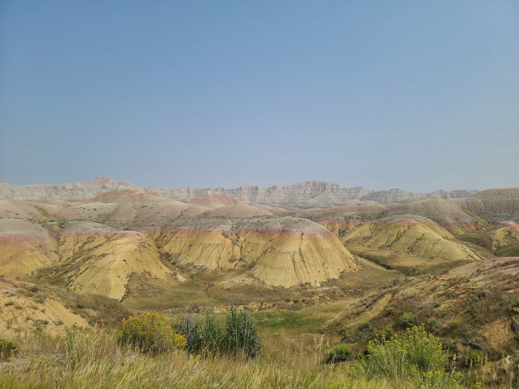
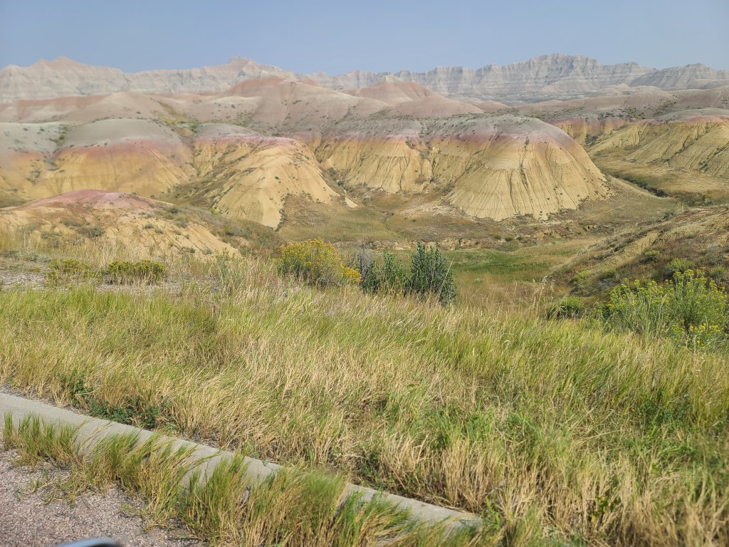
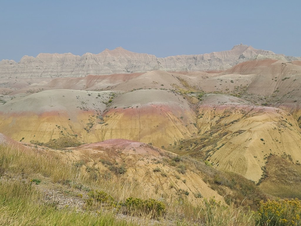
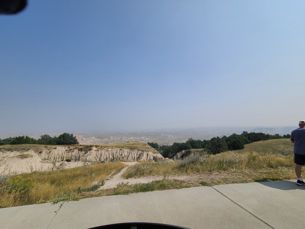
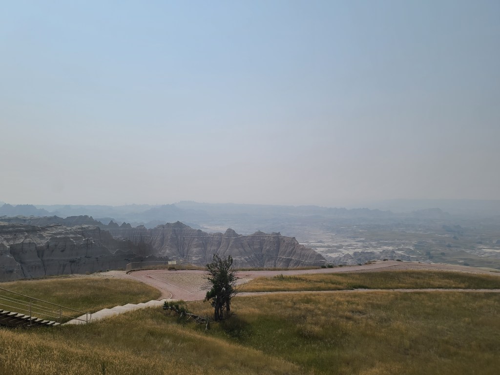
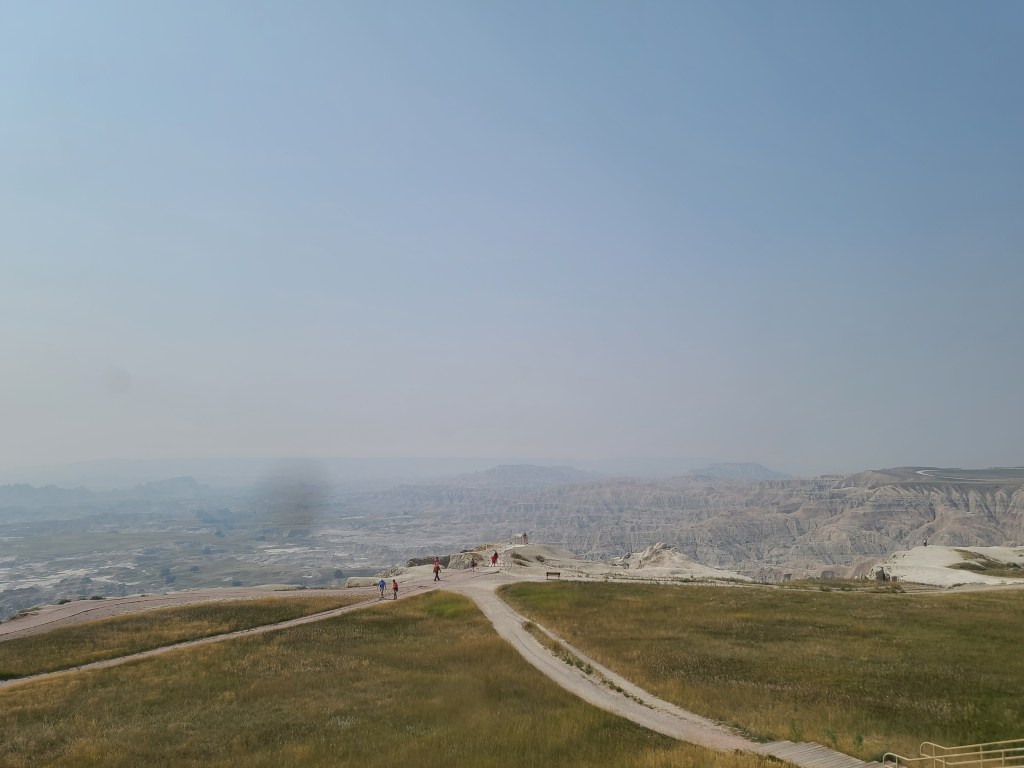
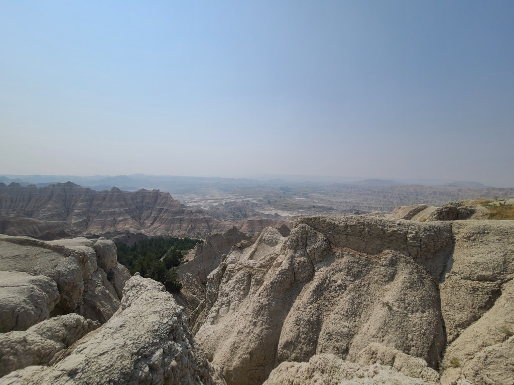
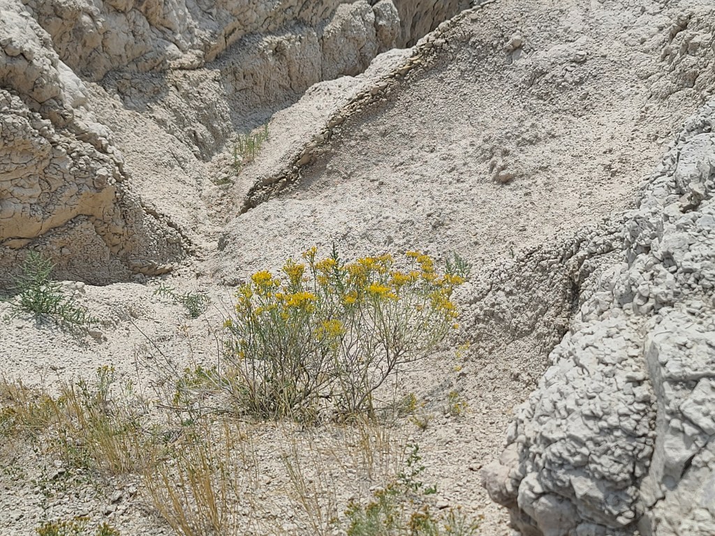
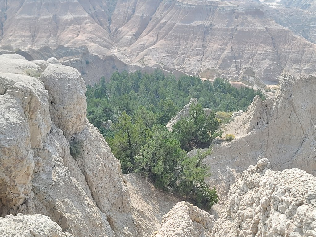
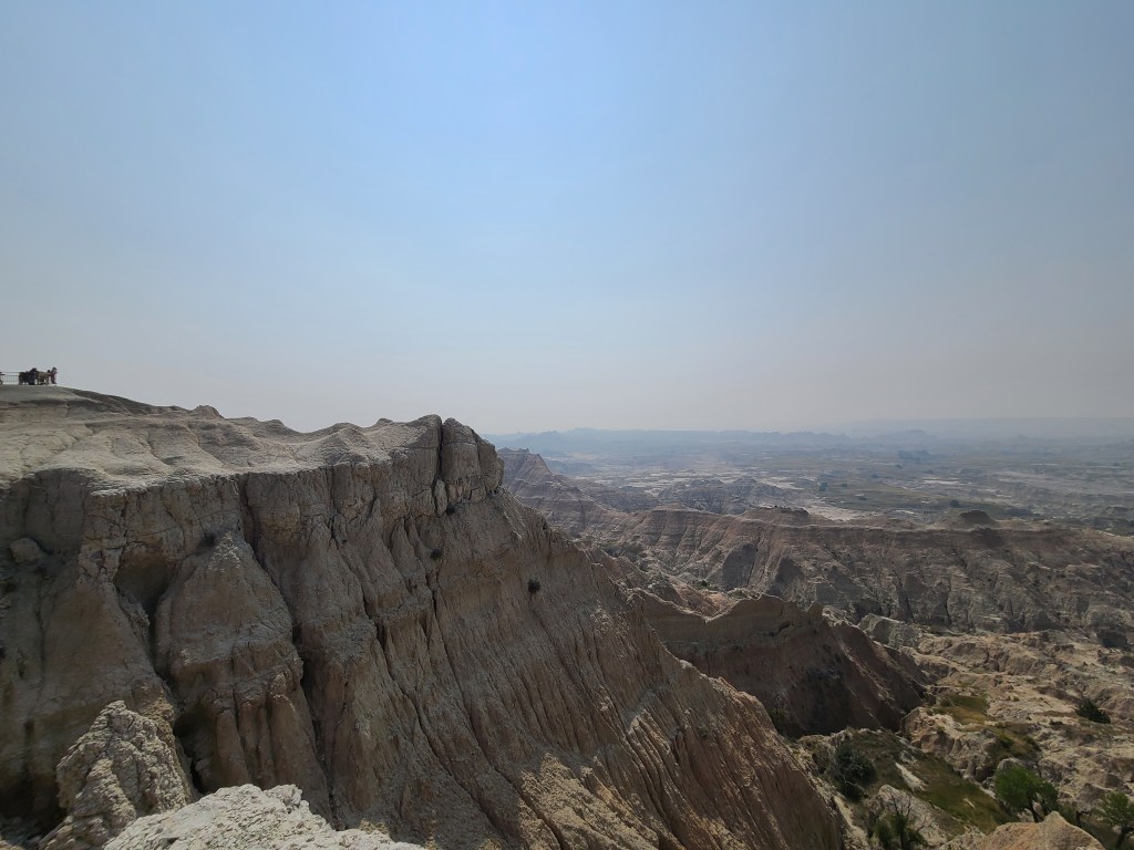
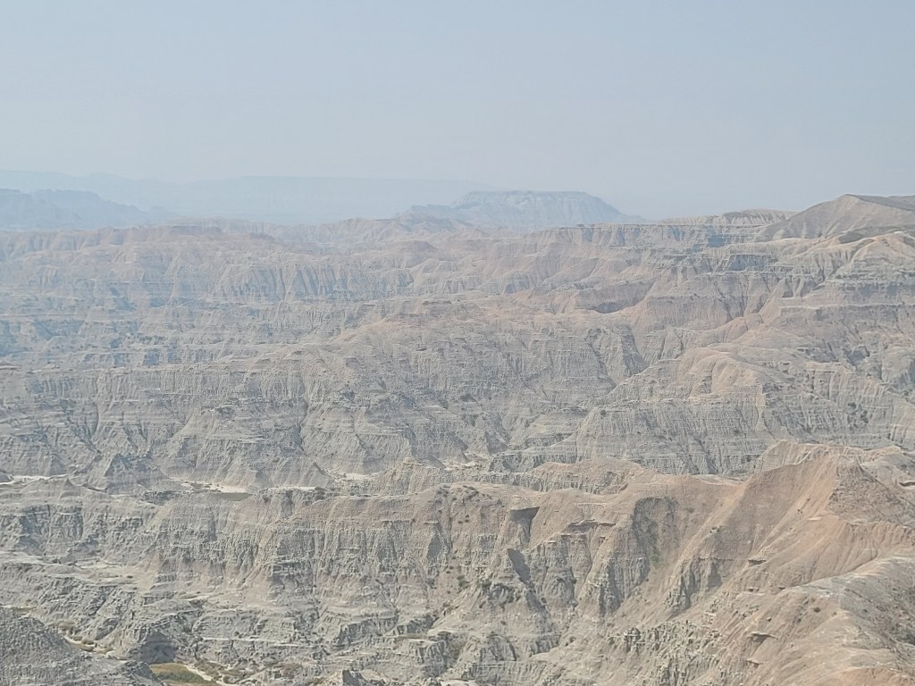
The Badlands – South Dakota
Today’s ride started with riding into Badlands National Park, after fueling up in Interior, South Dakota where the gas station had one gas pump with 87 octane unleaded gasoline. From my campsite, entrance to the national park was only 1.5 Miles.
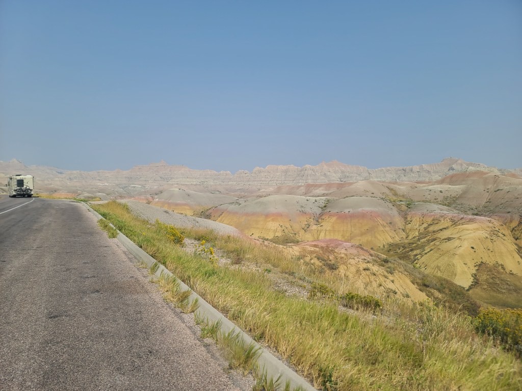
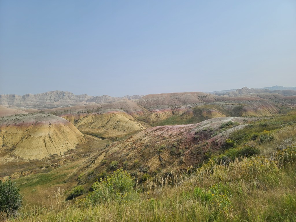
After riding several days in scenery dominated by prairie grassland and corn fields, riding through the rugged terrain of the badlands felt almost otherworldly. Some of the geography was very similar in features and colors that I have seen riding through Death Valley National Park in California; I suspect that some of the same geological forces were responsible.
From Wikipedia:
Badlands are a type of dry terrain where softer sedimentary rocks and clay-rich soils have been extensively eroded.[1] They are characterized by steep slopes, minimal vegetation, lack of a substantial regolith, and high drainage density.[2] Ravines, gullies, buttes, hoodoos and other such geologic forms are common in badlands.
Badlands are found on every continent except Antarctica, being most common where there are unconsolidated sediments. They are often difficult to navigate by foot, and are unsuitable for agriculture. Most are a result of natural processes, but destruction of vegetation by overgrazing or pollution can produce anthropogenic badlands.
Sage Creek Road – Construction, Loose Gravel, and Oil (Bitumen/Asphalt Tack Coat)
Leaving the Badlands National Park, I was headed towards Rapid City, South Dakota and ultimately my camp site near Keystone, South Dakota. My planned route took me over Sage Creek Road and then South Dakota Highway 44. The first 15-20% of Sage Creek Road was fine, typical two-lane blacktop highway cutting through prairie where bison were munching on the grasses. First the “Road Construction Ahead” warning signs appeared, followed by every motorcyclist loved signage (sarcasm) “Caution, Loose Gravel Ahead”. Soon, I came upon a flag man and had to wait for a pilot car to lead me through a maze through thick dirt, mud, and heavy construction equipment. For the next 18 miles, the road consisted of dirt and ripped up blacktop, which was heavily sprayed with Bitumen Tack Coat oil and loose gravel on top of that. It was slick and unstable. I kept my speed betwwen20 and 30 depending on how rough the road was. Not great but it was by far better road conditions than what I ran into on Hisle Road near Matin, South Dakota on Day 5. Nevertheless, this was a long 18 miles.
Unscheduled Miles
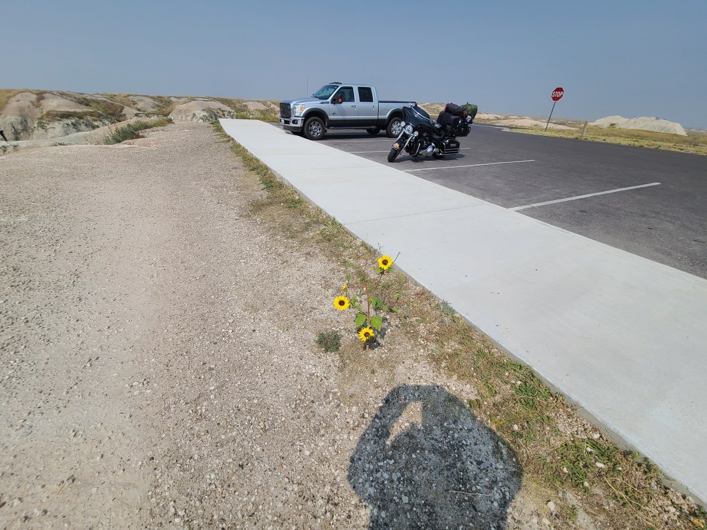
Today, 253 miles were traveled in total, even though just 112 miles had been scheduled. The 141 unscheduled miles was a result of a search and rescue mission to locate my missing Garmin inReach Plus GPS tracker and satellite communicator. Using a D-Ring I had been attaching the Garmin to my Helite Turtle II Airbag Vest. At my last scenic overlook location in the Badlands National Park, I forgot to re-attach the D-Ring to my vest before rolling out.
I did not notice that the Gamin was missing until I stopped for a rest at Dollar General in Rapid City, South Dakota. While talking with my wife on the phone, she was able to look up the last reported GPS coordinates transmitted by the Gamin GPS unit. I had set up my trip tracking which allows people to go to a website and see up to real time trip tracking. I plugged in the GPS coordinates into Google Maps on my phone.
Prior to the start of USA Midwest 2023, I downloaded maps of all the states I would be traveling in for offline maps within the Google Maps apps on my phone. With downloaded maps, Google Maps uses my phone’s GPS and does not require cellular service.
Armed with the last reported coordinates, I headed out on the search & rescue mission to backtrack 61 miles to where it appears to have fallen off. Wanting to avoid the nasty loose gravel and oil in the construction zone on Sage Creed Road, I opted instead to take Interstate 90 East to Wall, South Dakota. Just a few miles from Wall, I was able to locate the Garmin inReach Plus unit. The GPS coordinates were exactly accurate, which impressed me. The unit fell off the motorcycle at highway speed and thus was no longer operable. Once back home in Georgia, I was able to send the unit in and have it replaced for a heavily discounted rate. Now in 2025, I have replaced the unit entirely with a Garmin InReach Mini, much smaller unit and easier to wear.
Grizzly Creek Primitive Campground – near Keystone, South Dakota.
After rescuing the fallen Garmin unit, I resumed my trip to head to today’s destination near Keystone, SD where I camped for two nights at the Grizzly Creek Primitive Campground. I enjoy these rustic campgrounds but still have access to some water, picnic tables and fire pits. While I also enjoy dispersed camping, having these simple amenities is a simple and welcome luxury.
I was still able to make it to the campsite before sunset and set up camp before sunset, which is always preferable. I do have the means to set up camp in the dark with plenty of available camp lights and a spotlight headband. But it is just so much nicer to work in actual sunlight.


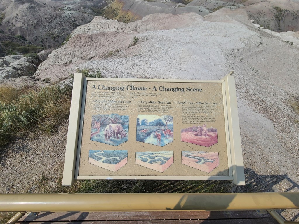
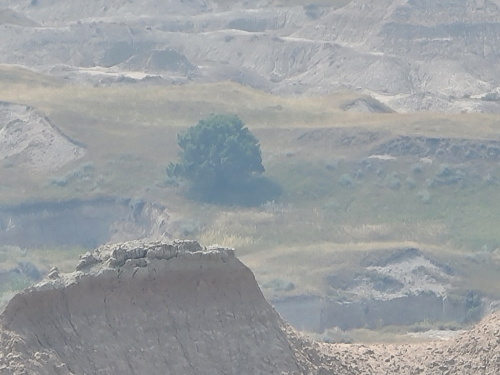
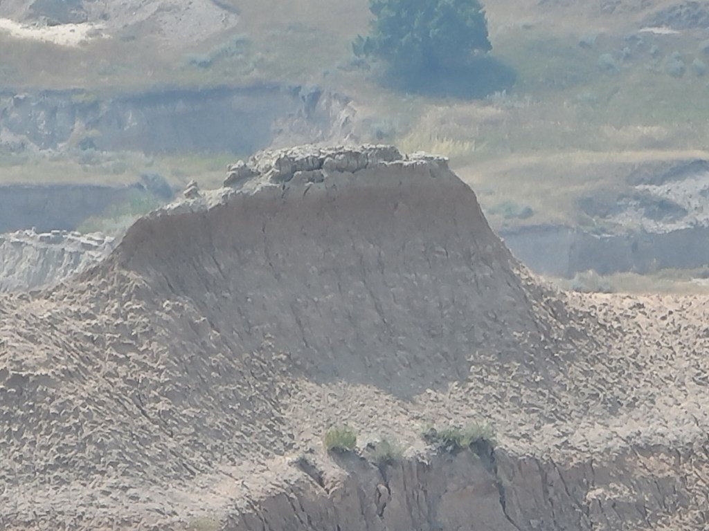
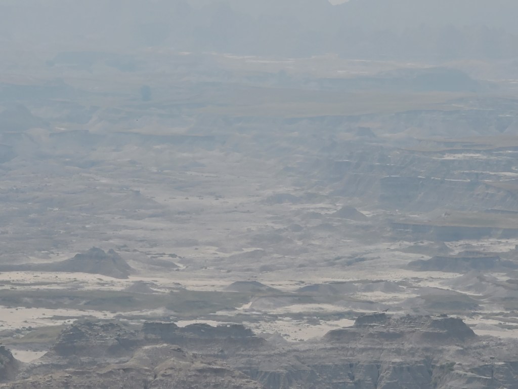
Badlands National Park Photos